Our Projects
Transforming Data Into Insights: Our GIS and remote sensing projects
Plateau State, Nigeria
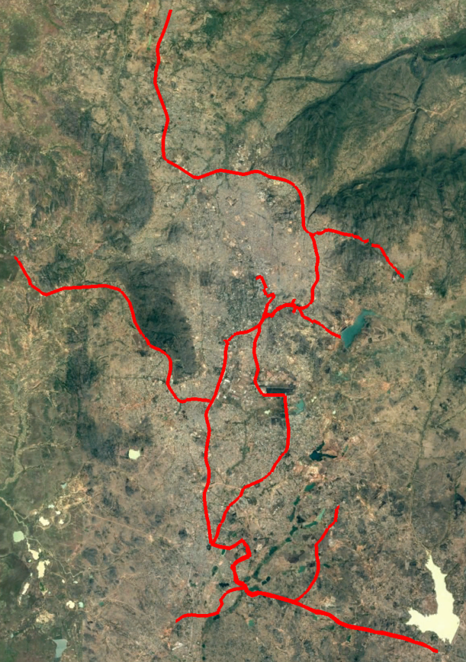
Development of the cartography of the existing water supply networks in Jos and Bukuru metropolis NUWSRP III –
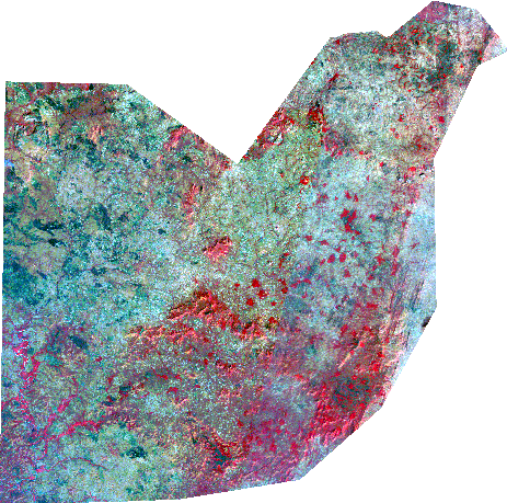
Building Abuja. In 1975.
In 1975, the government of Nigeria approved a plan to build Abuja, a new capital city that would be located near the geographic center of the country.
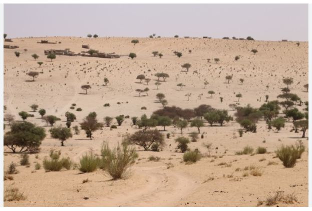
Desertification (Sahel Region)
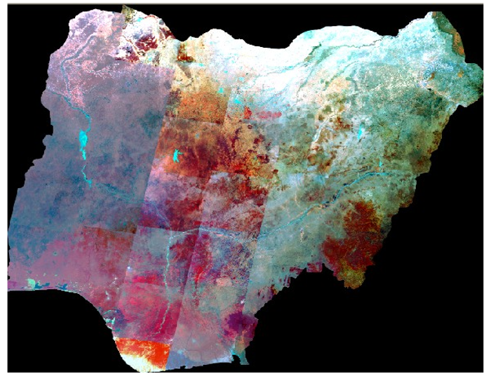
It has been estimated that between 50 % and 75 % of Bauchi, Borno, Gombe, Jigawa, Kano, Katsina, Kebbi, Sokoto, Yobe, and Zamfara States in Nigeria are being affected by desertification
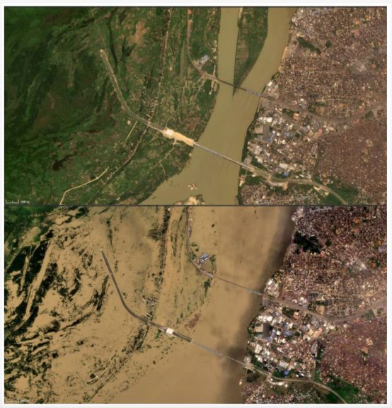
Flood-Risk Assessment
Hydrological extremes, particularly floods, are becoming prevalent in parts of Nigeria. During the 2022 rainy season, Nigeria experienced a devastating riverine flood with severe societal impacts.
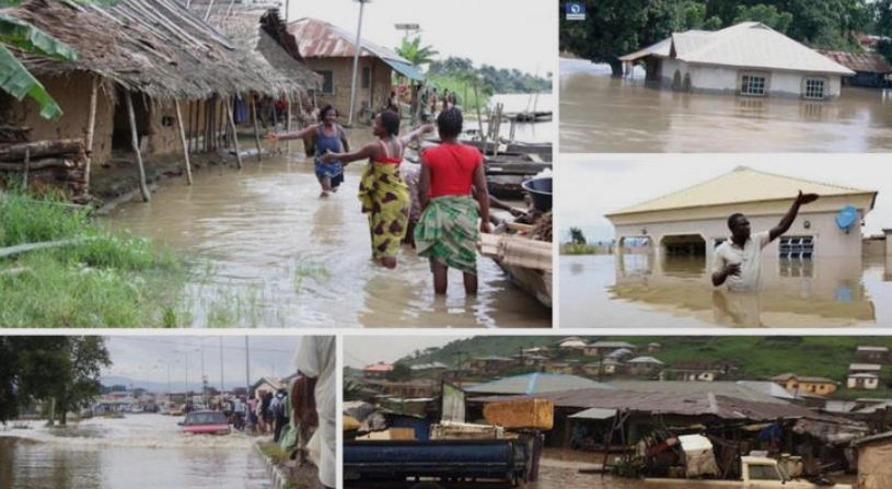
Flood-Risk Assessment & Early-Warning System for the Lower Benue Basin
Project snapshot Request for details