GIS Mapping & Analysis
Advanced geographic information systems for spatial data analysis, mapping, and visualization to support informed decision-making.
From Data to Decisions
Comprehensive geospatial solutions tailored to your needs
Advanced geographic information systems for spatial data analysis, mapping, and visualization to support informed decision-making.
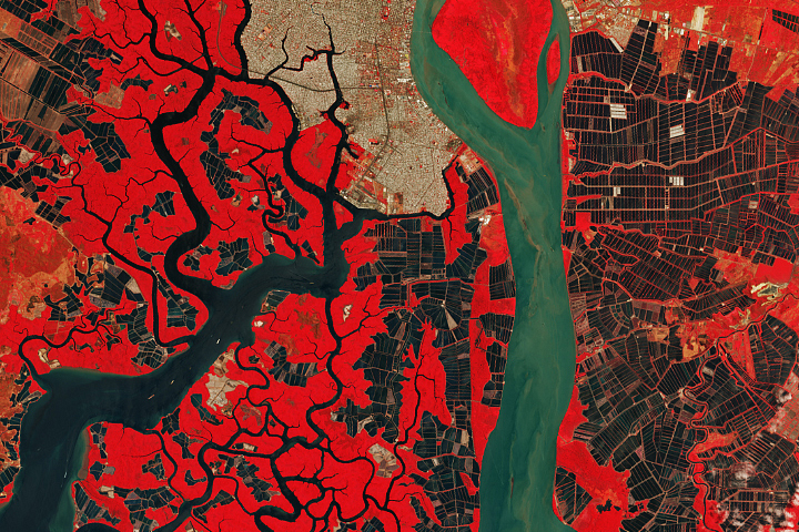
Satellite and aerial imagery analysis for environmental monitoring, land use planning, and resource management.
Expert GIS consulting services and customized training programs to build your team’s geospatial capabilities.
Explore our most impactful geospatial projects
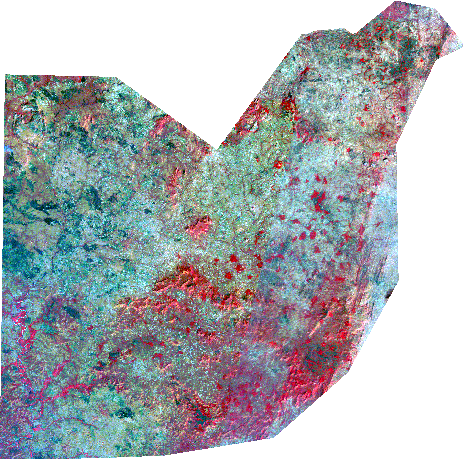
Development of the cartography of the existing water supply networks in Jos and Bukuru metropolis NUWSRP III -
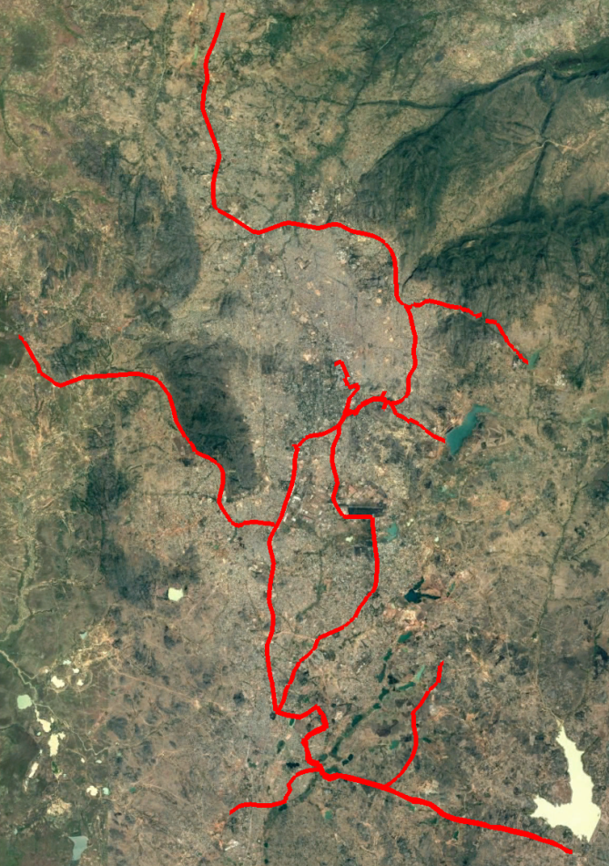
In 1975, the government of Nigeria approved a plan to build Abuja, a new capital city that would be located...
Niger leads the nation in production, with 2,000 acres and 6 million pounds of production.
What our clients say about our services
The quality of KuretechGIS drone imagery is far superior to what we previously used. It helped our team monitor remote communities, assess needs, and allocate resources with precision.

KuretechGIS is the best technology partner we’ve ever worked with. Their geospatial analytics gave us an advantage over competition and drastically improved our client satisfaction.

The GIS mapping solutions provided by KuretechGIS have been instrumental in optimizing our logistics network, resulting in significant cost savings and efficiency improvements.
The Nigerian Export Promotion Council proudly partners KuretechGIS. Their expertise in remote sensing helped us identify critical environmental patterns we had previously missed.

Before KuretechGIS, we relied on manual reports. Now we make data-driven decisions based on live maps, risk clusters, and community heatmaps. It has improved our governance tremendously.