Project snapshot
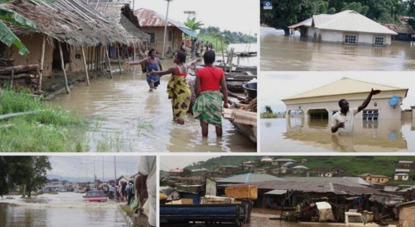
- Objective: Produce near-real-time flood-extent maps and 72-hour flood-forecast layers for the LMB to support disaster-risk reduction and emergency response.
- Key deliverables:
- 10 m-resolution seasonal flood-frequency layers (2015-2023)
- Web-based interactive early-warning dashboard updated every 6 hours during monsoon season
- Open-data API for national hydro-meteorological agencies
- Methodology highlights:
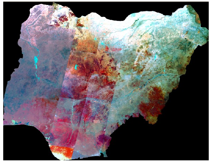
- Sentinel-1 SAR backscatter thresholding for cloud-penetrating flood detection.
- Machine-learning (Random-Forest) classification of Sentinel-2 imagery to refine urban vs. agricultural inundation zones.
- Coupling of HEC-RAS hydraulic model outputs with GIS layers to forecast extent and depth.